Previous Work
iVue
A drone operations platform combining live video, real-time telemetry, and a 3D globe for mission planning and control.
Overview
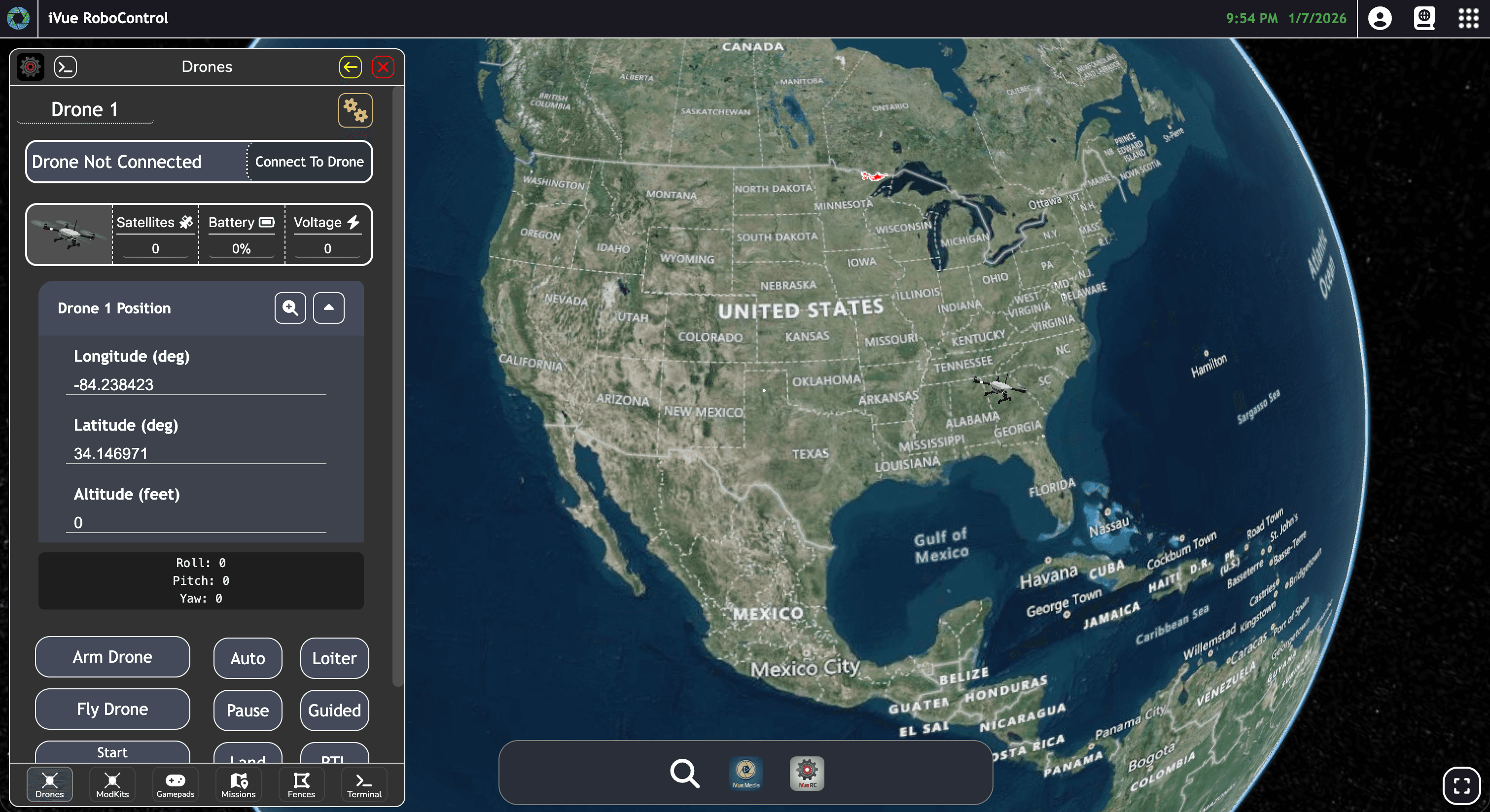
iVue provides operators with a unified interface to control drones, stream live video, and visualize position and telemetry on a global 3D map. It supports mission planning, payload integration, and both education and commercial inspection workflows. Worlds iVue utilizes a Cesium-based globe for geospatial context while iVue RoboControl supplies the telemetry, command, and UI elements for autonomous drone operation.
Technical Approach
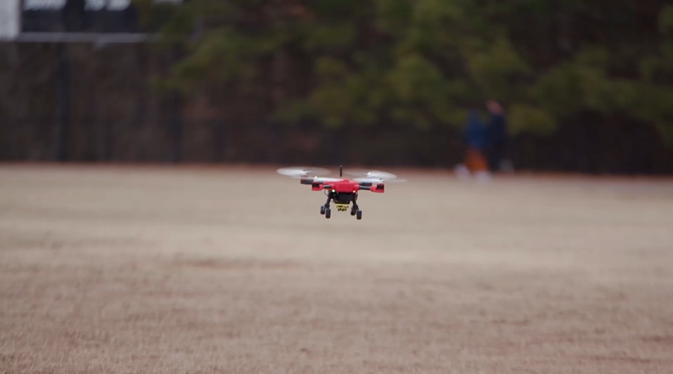
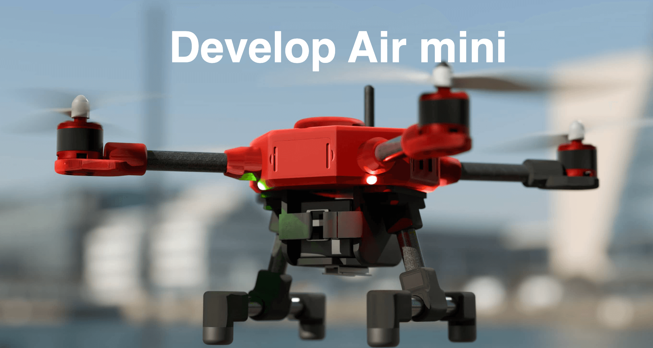
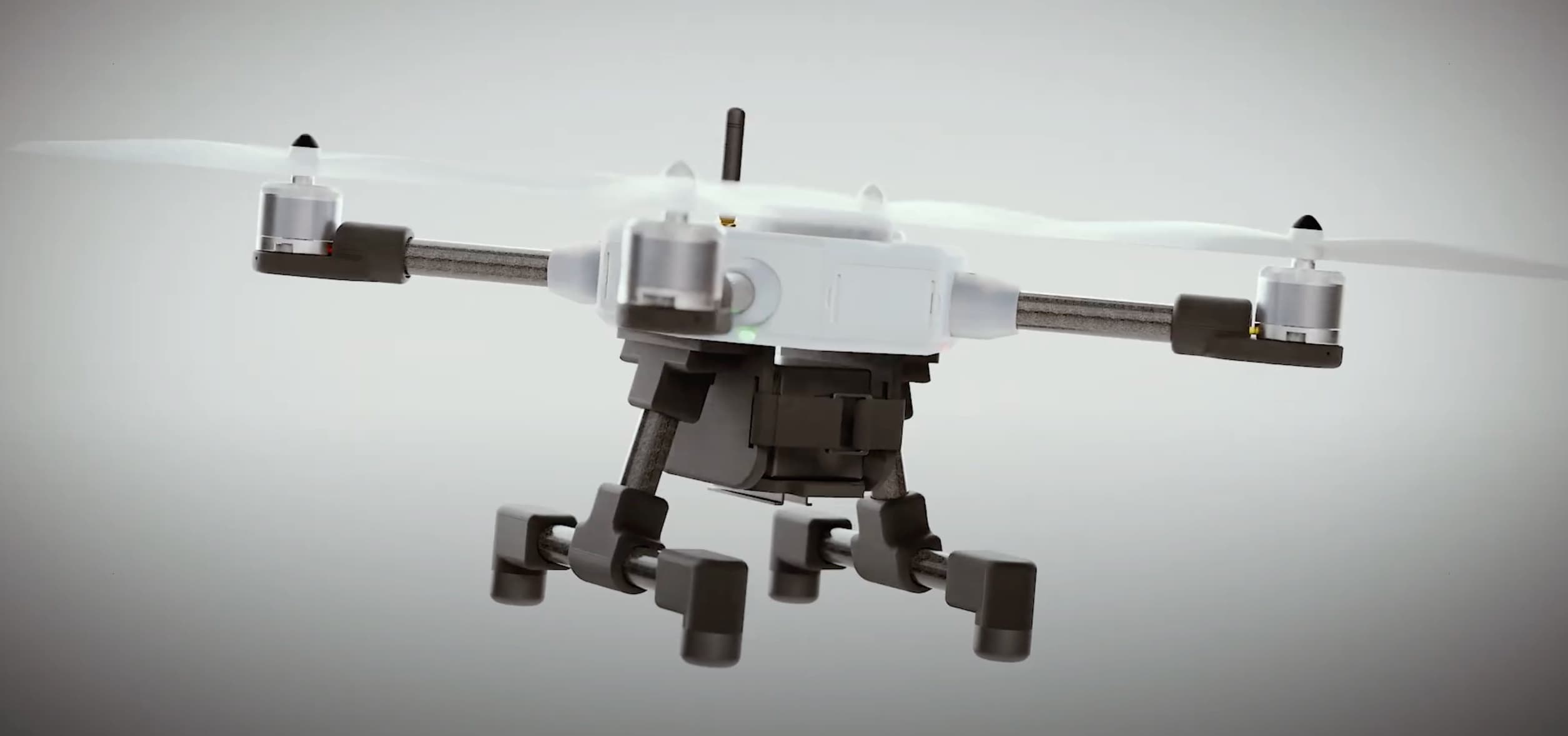
The platform uses low-latency streaming WebRTC for live camera feeds and WebSocket channels for telemetry and command/control. We used a CesiumJS-powered 3D globe to provide accurate geospatial rendering and mission overlays. The architecture is modular to support Develop Air hardware, diverse payloads, and mission automation, with emphasis on resilient connections and failsafe behavior.
Challenges
Geospatial Integration
Integrating a Cesium-based 3D globe with live telemetry to provide accurate, synchronized geospatial context.
Operator Workflows
Designing responsive, reusable UI controls to streamline operator tasks and maintain cross-system compatibility.
Latency & Reliability
Reducing streaming and command latency while implementing resilient fail-safes for unreliable network conditions.
Impact